
About San Gorgonio Wilderness
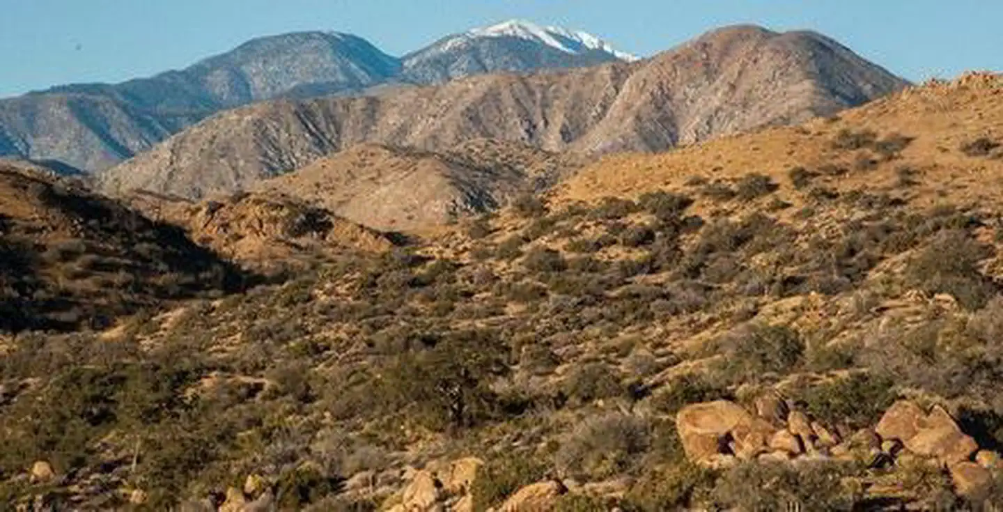
Overview This wilderness is part of the eastern slope of the San Bernardino Mountains with topography rapidly changing from low, rolling foothills and canyons to steep, rugged mountains. Elevations range from 2,300 to 5,500 feet. Because of this elevation gradient, the wilderness reflects a unique transition between desert, coastal and mountain environments, including the different types of vegetation representative of each elevation. History San Gorgonio Mountain was originally known as "Old Grayback" by locals until officially designated by the US Geological Survey (from the Spanish heritage) on the original topographical map of the area produced in 1899. At 11,502 feet, it is the highest peak in California south of the Sierras. The San Gorgonio Wilderness derived its name from this peak
Things to do
When to go
Weather data & source
Each figure averages the highlighted months. 2018–2023 averages, not a forecast. Wet days estimate days with at least 1 mm of rain or snow using a calibrated ERA5 threshold. Contains modified Copernicus Climate Change Service information. Weather data by Open-Meteo.com (AWS Open Data, CC BY 4.0). ERA5 via Open-Meteo AWS Open Data
Plan your visit
San Gorgonio Wilderness is managed by Bureau of Land Management. Check current conditions, permits, and reservations before you go.
See it on Recreation.gov →