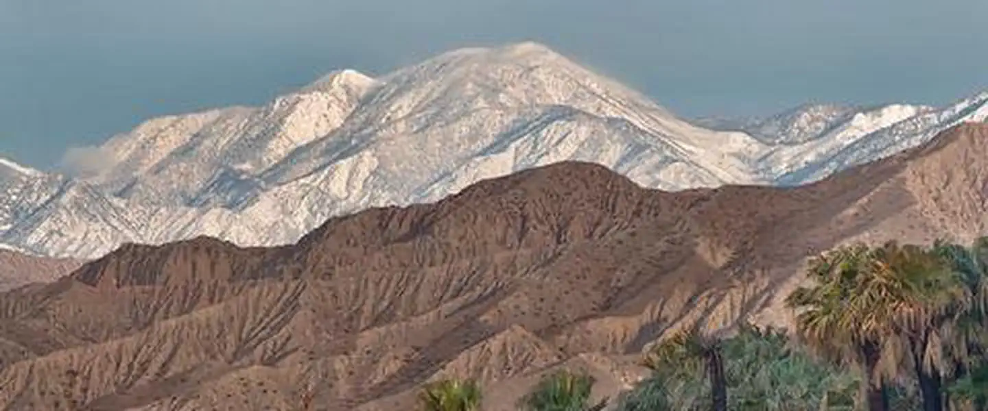

About Sand to Snow National Monument
Remember your OUTDOOR ETHICS when enjoying your public lands. Please RECREATE RESPONSIBLY. Overview Encompassing 154,000 acres, including just over 100,000 acres of already congressionally designated Wilderness, Sand to Snow National Monument is an ecological and cultural treasure and one of the most biodiverse areas in southern California, supporting more than 240 species of birds and twelve threatened and endangered wildlife species. Home to the region's tallest alpine mountain that rises from the floor of the Sonoran Desert, the monument also will protect sacred, archaeological and cultural sites, including an estimated 1,700 Native American petroglyphs. Featuring thirty miles of the world-famous Pacific Crest National Scenic Trail, the area is a favorite for camping, hiking, hunting, h
Things to do
When to go
Weather data & source
Each figure averages the highlighted months. 2018–2023 averages, not a forecast. Wet days estimate days with at least 1 mm of rain or snow using a calibrated ERA5 threshold. Contains modified Copernicus Climate Change Service information. Weather data by Open-Meteo.com (AWS Open Data, CC BY 4.0). ERA5 via Open-Meteo AWS Open Data
Plan your visit
Sand to Snow National Monument is managed by Bureau of Land Management. Check current conditions, permits, and reservations before you go.
See it on Recreation.gov →