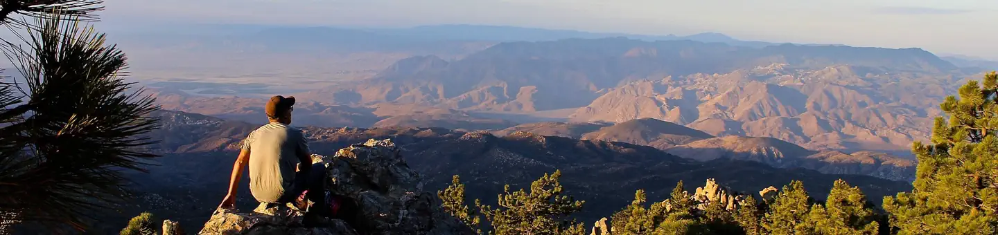

About Santa Rosa and San Jacinto Mountains National Monument
The Santa Rosa and San Jacinto Mountains provide a world-renowned scenic backdrop to the desert communities of the Coachella Valley. The National Monument serves as a model for community based support and creation. This monument reflects the vision of the local jurisdictions that assisted in the designation. Safety Many areas of the Santa Rosa and San Jacinto Mountains National Monument are remote and challenging. You cannot always depend on a signpost or a ranger to get you out of a fix. Bring appropriate equipment so you can be prepared for weather changes and can take care of yourself, if necessary, overnight. Do not recreate alone . Or leave an activity plan with friends, family, or a ranger that detail where you will be and when you expect to return. Have a communication plan . Cellph
When to go
Low confidence for this location; local conditions may differ.
Weather data & source
Each figure averages the highlighted months. 2018–2023 averages, not a forecast. Wet days estimate days with at least 1 mm of rain or snow using a calibrated ERA5 threshold. Contains modified Copernicus Climate Change Service information. Weather data by Open-Meteo.com (AWS Open Data, CC BY 4.0). ERA5 via Open-Meteo AWS Open Data
Plan your visit
Santa Rosa and San Jacinto Mountains National Monument is managed by Bureau of Land Management. Check current conditions, permits, and reservations before you go.
See it on Recreation.gov →