
About Santa Rosa Wilderness
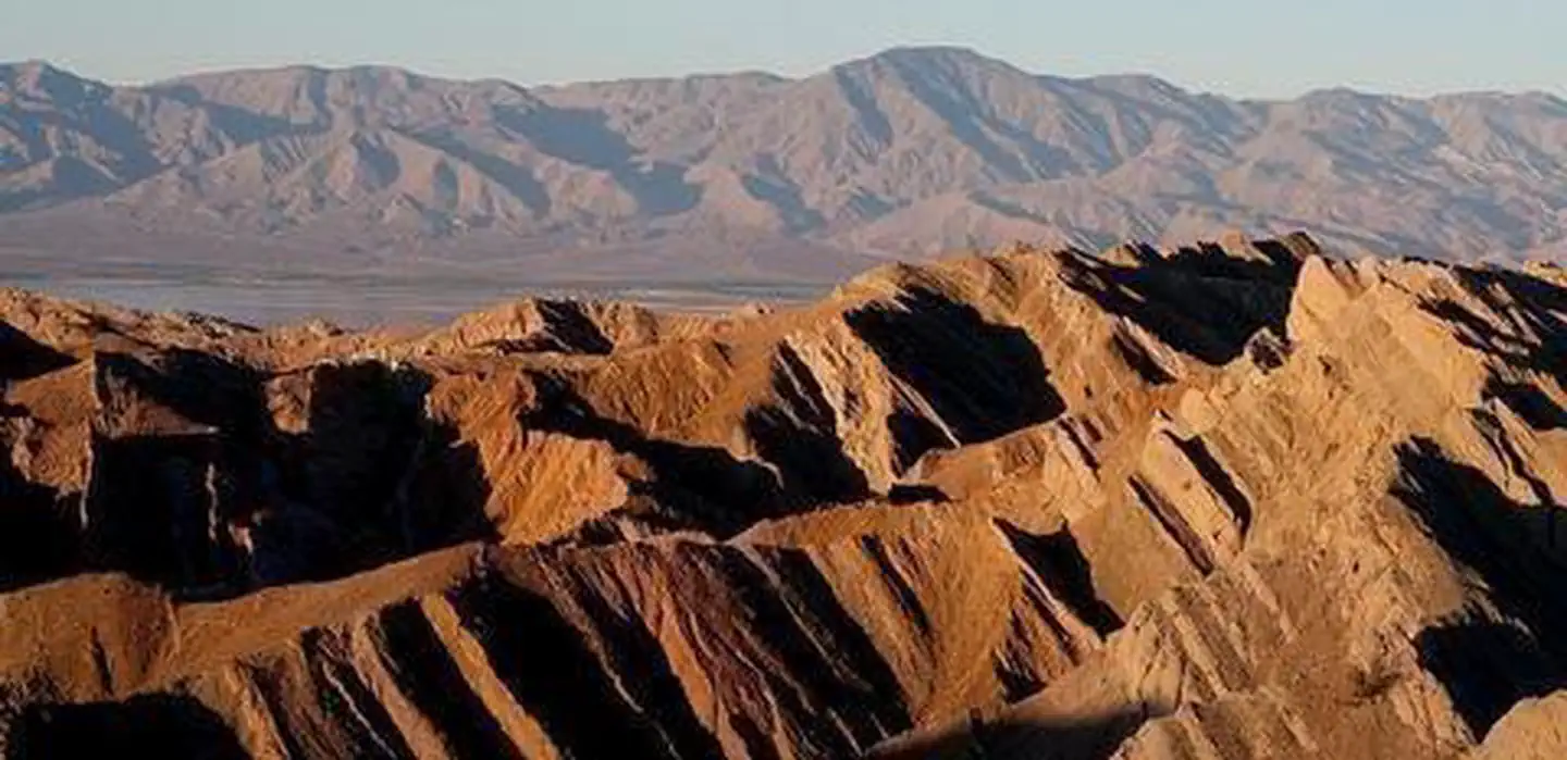
Overview The terrain within the Santa Rosa Mountains Wilderness is rugged with elevations rising dramatically from just above sea level to 7,000 feet. Laced with deep washes and shallow drainages, the area supports a variety of riparian streams which flow year-round. Here, desert and mountain environments blend together to form unique plant habitats, which thrive in riparian oases. The Santa Rosas are strewn with boulders. The steep canyon walls have been eroded by springs and streams. Bear Creek Oasis, Lost Canyon Oasis, Guadelupe Canyon, Devil Canyon and Rockhouse Canyon are all found within this wilderness. Many of these areas provide important lambing habitat for bighorn sheep. The Santa Rosa Mountains support the largest herd of Peninsular bighorn sheep in the United States. Mule deer
Things to do
When to go
Weather data & source
Each figure averages the highlighted months. 2018–2023 averages, not a forecast. Wet days estimate days with at least 1 mm of rain or snow using a calibrated ERA5 threshold. Contains modified Copernicus Climate Change Service information. Weather data by Open-Meteo.com (AWS Open Data, CC BY 4.0). ERA5 via Open-Meteo AWS Open Data
Plan your visit
Santa Rosa Wilderness is managed by Bureau of Land Management. Check current conditions, permits, and reservations before you go.
See it on Recreation.gov →