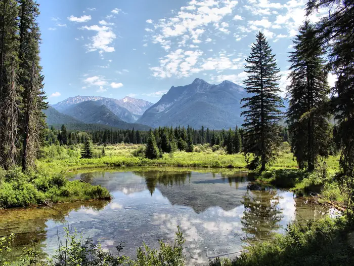

About Selkirk Crest Wilderness Study Area
In Idaho, BLM manages nearly 1,000 acres of public lands in the Selkirk Crest Wilderness Study Area. The WSA is steep and heavily vegetated with a wide variety of species. Elevation ranges from near 1,800 feet to almost 4,500 feet at the national forest boundary.
Things to do
CampingHikingHorseback ridingHuntingWildlife viewingPhotography
When to go
JanFebMarAprMayJunJulAugSepOctNovDec
Best Jun–SepAverage low–high: 50–74°FAverage monthly sunny share of daylight: 55%6.0 wet days / month
Weather data & source
Each figure averages the highlighted months. 2018–2023 averages, not a forecast. Wet days estimate days with at least 1 mm of rain or snow using a calibrated ERA5 threshold. Contains modified Copernicus Climate Change Service information. Weather data by Open-Meteo.com (AWS Open Data, CC BY 4.0). ERA5 via Open-Meteo AWS Open Data
Plan your visit
Selkirk Crest Wilderness Study Area is managed by Bureau of Land Management. Check current conditions, permits, and reservations before you go.
See it on Recreation.gov →