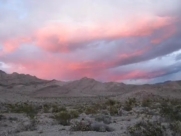

About Stateline Wilderness
The small but pristine Stateline Wilderness contains the eastern terminus of the 15 mile long Clark Mountain Range. The limestone/dolomite mountains are steep and rugged. Dominant vegetation includes creosote brush and bursage on the bajadas and Mojave yucca, Joshua tree, cacti, and various mixed shrubs on the slopes. The highest elevations contain some pinyon-juniper habitat. Wildlife is typical for the Mojave Desert; including coyote, black-tailed jackrabbits, ground squirrels, kangaroo rats, quail, roadrunners, rattlesnakes, and several species of lizards. The wilderness consists of 6,963 acres.
Things to do
When to go
Weather data & source
Each figure averages the highlighted months. 2018–2023 averages, not a forecast. Wet days estimate days with at least 1 mm of rain or snow using a calibrated ERA5 threshold. Contains modified Copernicus Climate Change Service information. Weather data by Open-Meteo.com (AWS Open Data, CC BY 4.0). ERA5 via Open-Meteo AWS Open Data
Plan your visit
Stateline Wilderness is managed by Bureau of Land Management. Check current conditions, permits, and reservations before you go.
See it on Recreation.gov →