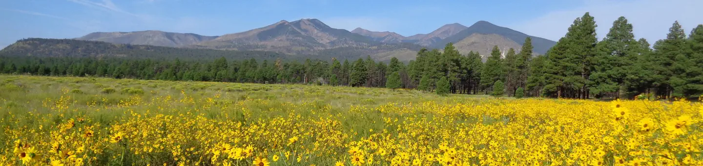

About Sunset Crater Volcano National Monument
The lava flow lies on the land like a dream, a wonderland of rock. A thousand years ago the ground was torn open and lava erupted into the sky, forever changing the landscape and the lives of the people who lived here. A thousand years later, trees and flowers grow among the rocks, and people visit the lava flow to see and remember the most recent volcanic eruption in Arizona.
When to go
Weather data & source
Each figure averages the highlighted months. 2018–2023 averages, not a forecast. Wet days estimate days with at least 1 mm of rain or snow using a calibrated ERA5 threshold. Contains modified Copernicus Climate Change Service information. Weather data by Open-Meteo.com (AWS Open Data, CC BY 4.0). ERA5 via Open-Meteo AWS Open Data
Plan your visit
Sunset Crater Volcano National Monument is managed by National Park Service. Check current conditions, permits, and reservations before you go.
See it on Recreation.gov →