
About Table Rock Wilderness
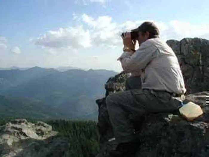
The United States Congress designated the Table Rock Wilderness in 1984 and it now has over 5,786 acres. All of this wilderness is located in Oregon and is managed by the Bureau of Land Management (BLM). A remnant of a lava flow that once covered this region along the western foothills of the Cascades, the "fortress" of Table Rock stands at 4,881 feet above the northeastern portion of this small Wilderness. On this steep and rugged terrain you'll find a quiet forest of Douglas fir and western hemlock, with noble fir at higher elevations and crowds of rhododendron on many of the upper slopes, an island of old growth in an ocean of forest development. At least two endangered plants bloom here: Oregon sullivantia and Gorman's aster. Deer and elk wander about in winter, and the northern spotte
Things to do
When to go
Weather data & source
Each figure averages the highlighted months. 2018–2023 averages, not a forecast. Wet days estimate days with at least 1 mm of rain or snow using a calibrated ERA5 threshold. Contains modified Copernicus Climate Change Service information. Weather data by Open-Meteo.com (AWS Open Data, CC BY 4.0). ERA5 via Open-Meteo AWS Open Data
Plan your visit
Table Rock Wilderness is managed by Bureau of Land Management. Check current conditions, permits, and reservations before you go.
See it on Recreation.gov →