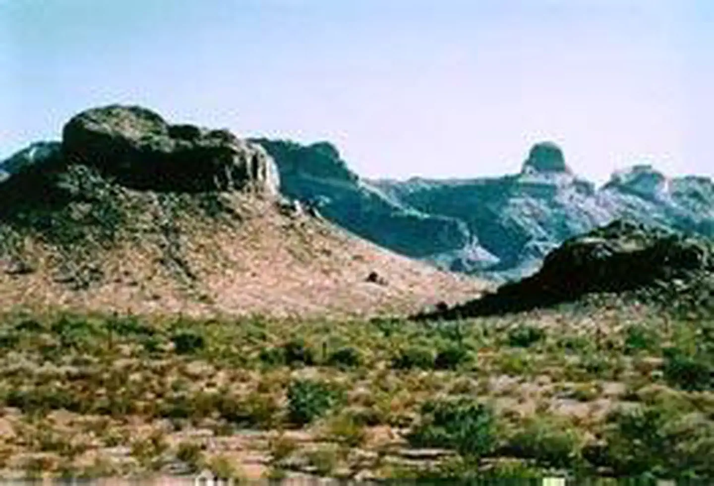

About Table Top Wilderness
The 34,400-acre Table Top Wilderness lies in the southeastern Sonoran Desert National Monument . Table Top Mountain is the highest peak in the area and its flat-topped summit of 4,373 ft is a familiar landmark, easily recognized from Phoenix and Casa Grande. Steeply rising flat-top mesas, ridges, lava flows, wide canyons and mesquite-and ironwood-lined washes surround Table Top Peak. Hikers, backpackers, horseback riders and others venturing into the wilderness are rewarded with solitude. The four-mile-long Table Top Trail leads to the summit of Table Top, with the trailhead at the southwest corner of the wilderness (equestrian use not recommended on this trail due to steep conditions). The view from atop the peak provides a panorama of mountains ranges and desert plains. The abundant dese
Things to do
When to go
Weather data & source
Each figure averages the highlighted months. 2018–2023 averages, not a forecast. Wet days estimate days with at least 1 mm of rain or snow using a calibrated ERA5 threshold. Contains modified Copernicus Climate Change Service information. Weather data by Open-Meteo.com (AWS Open Data, CC BY 4.0). ERA5 via Open-Meteo AWS Open Data
Plan your visit
Table Top Wilderness is managed by Bureau of Land Management. Check current conditions, permits, and reservations before you go.
See it on Recreation.gov →