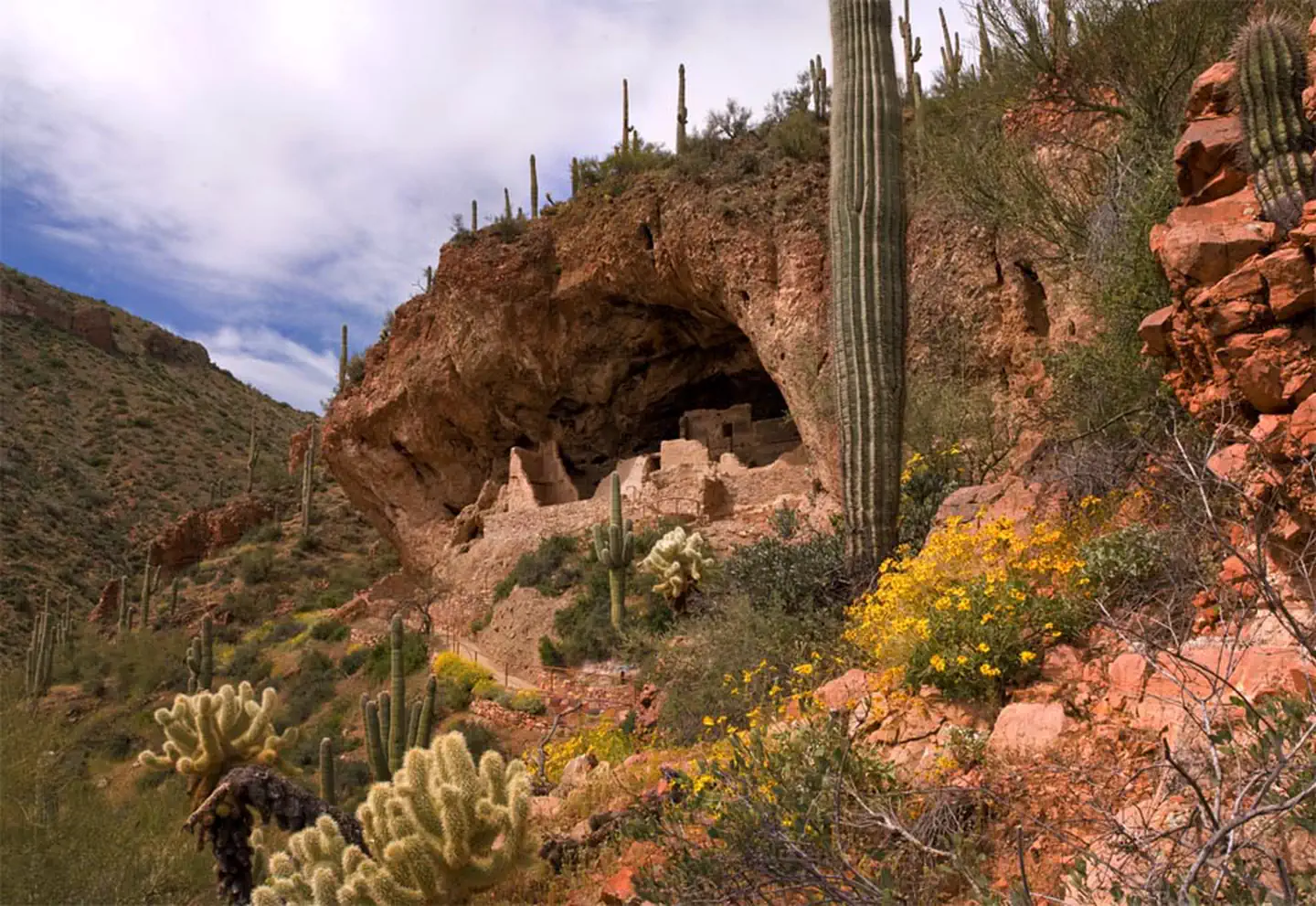

About Tonto National Monument
Located within the northern range of the Sonoran Desert lie two cliff dwellings that were occupied from 1300-1450 CE (common era). They represent a vibrant culture consisting of local and immigrant groups that lived in the Tonto Basin. Together they formed a new ideology, which archeologists refer to as Salado. Today, descendants of the cliff dwellers continue to call Arizona home.
Things to do
When to go
Low confidence for this location; local conditions may differ.
Weather data & source
Each figure averages the highlighted months. 2018–2023 averages, not a forecast. Wet days estimate days with at least 1 mm of rain or snow using a calibrated ERA5 threshold. Contains modified Copernicus Climate Change Service information. Weather data by Open-Meteo.com (AWS Open Data, CC BY 4.0). ERA5 via Open-Meteo AWS Open Data
Plan your visit
Tonto National Monument is managed by National Park Service. Check current conditions, permits, and reservations before you go.
See it on Recreation.gov →