
About Tres Alamos Wilderness
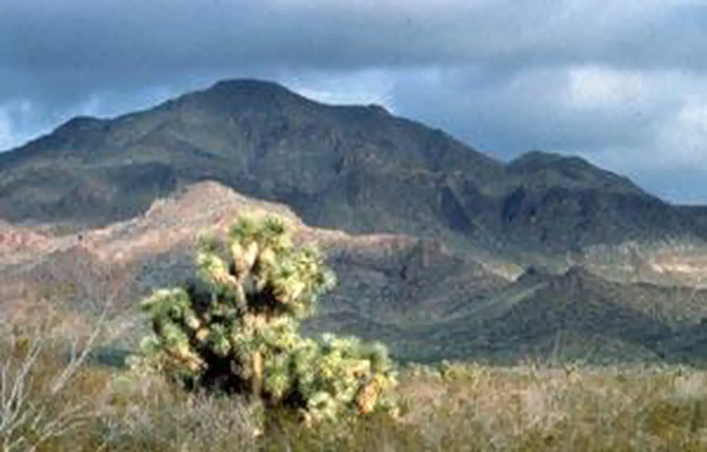
The 8,300-acre Tres Alamos Wilderness Area is in Yavapai County, 80 miles northwest of Phoenix, Arizona, and six miles south of the Santa Maria River. The eastern part of the wilderness takes in the scenic ridgelines, canyons and washes of the southern Black Mountains, whereas the western side consists mainly of lower desert bajada and plains. Sawyer Peak at 4,293 feet, is the highest point in the wilderness and in the Black Mountains. The colorful monolith of Tres Alamos is the area's most striking landscape feature. Saguaro and paloverde cover the hills and bajadas; Joshua trees and creosote bush dot the plains, and mesquite and acacia line the washes. Wildlife includes the Gila monster, prairie falcon, and golden eagle, and possibly Cooper's hawks and kit fox. Tres Alamos Wilderness off
Things to do
When to go
Weather data & source
Each figure averages the highlighted months. 2018–2023 averages, not a forecast. Wet days estimate days with at least 1 mm of rain or snow using a calibrated ERA5 threshold. Contains modified Copernicus Climate Change Service information. Weather data by Open-Meteo.com (AWS Open Data, CC BY 4.0). ERA5 via Open-Meteo AWS Open Data
Plan your visit
Tres Alamos Wilderness is managed by Bureau of Land Management. Check current conditions, permits, and reservations before you go.
See it on Recreation.gov →