
About Trilobite Wilderness
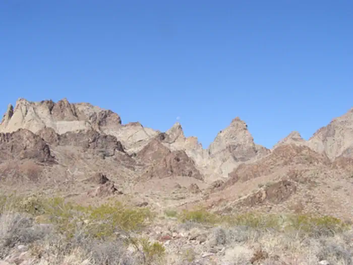
The Trilobite Wilderness covers the Marble Mountains, a narrow volcanic range extending 12 miles in a northwest-southwest direction. Alternating dark brown and light brown striations have been tilted by geologic processes and give a marbled appearance to the range. Through the center, several yellowish sandstone peaks with long talus slopes are prominent. Trending eastward from the mountain range, the wilderness includes low rolling hills and sloping bajadas. Wildlife is also typical for the Mojave Desert. The area does have a very stable permanent population of bighorn sheep last estimated at around 150, and the eastern portion of the wilderness provides critical habitat for the threatened desert tortoise. The wilderness is located in the central portion of the sector and consists of 37,3
Things to do
When to go
Weather data & source
Each figure averages the highlighted months. 2018–2023 averages, not a forecast. Wet days estimate days with at least 1 mm of rain or snow using a calibrated ERA5 threshold. Contains modified Copernicus Climate Change Service information. Weather data by Open-Meteo.com (AWS Open Data, CC BY 4.0). ERA5 via Open-Meteo AWS Open Data
Plan your visit
Trilobite Wilderness is managed by Bureau of Land Management. Check current conditions, permits, and reservations before you go.
See it on Recreation.gov →