
About Upper Burro Creek Wilderness
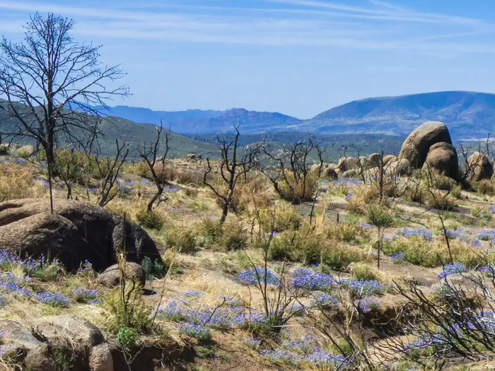
The 27,440-acre Upper Burro Creek Wilderness is located in Yavapai and Mohave counties in Arizona, 60 miles west of Prescott and 60 miles southeast of Kingman. The small mining town of Bagdad is located 10 miles southeast of the wilderness. This wilderness lies along the upper reaches of Burro Creek, a perennial stream and one of the few streams in Arizona to flow relatively undisturbed into the lower desert. Nine miles of Burro Creek lie within the wilderness. In this area, Burro Creek passes through incised bedrock where it runs deep, creating clear blue pools connected by small waterfalls. In other areas, the creek has backed up into long, marshy pools ringed with young trees and other water-loving vegetation. Away from the stream corridor, the wilderness preserves an expanse of basalt
Things to do
When to go
Weather data & source
Each figure averages the highlighted months. 2018–2023 averages, not a forecast. Wet days estimate days with at least 1 mm of rain or snow using a calibrated ERA5 threshold. Contains modified Copernicus Climate Change Service information. Weather data by Open-Meteo.com (AWS Open Data, CC BY 4.0). ERA5 via Open-Meteo AWS Open Data
Plan your visit
Upper Burro Creek Wilderness is managed by Bureau of Land Management. Check current conditions, permits, and reservations before you go.
See it on Recreation.gov →