
About West Malpais Wilderness Area
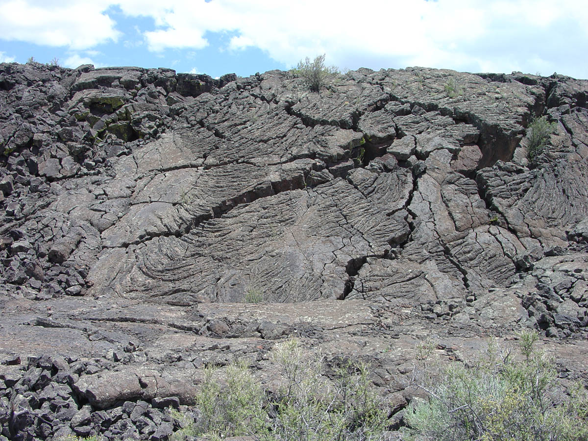
The West Malpais Wilderness is a landscape of volcanic lava flows, mostly flat, and encompasses three main ecotypes. The southeastern portion of the wilderness is a grassland with expansive views. The western area is a pinon-juniper woodland. Ponderosa pine is prevalent in the northern portion of the Wilderness. The most distinctive landform within the West Malpais Wilderness is a 6,700-acre kipuka (a Hawaiian term meaning island of fertile ground) in the north part of the wilderness called Hole-In-The-Wall. Ponderosa pines are sprinkled through the grassland of the kipuka, which is ringed by a sea of broken, jagged basalt where ponderosa pines are plentiful. The Wilderness is located within the El Malpais National Conservation Area. The establishment of a Wilderness Area identifies an are
Things to do
When to go
Weather data & source
Each figure averages the highlighted months. 2018–2023 averages, not a forecast. Wet days estimate days with at least 1 mm of rain or snow using a calibrated ERA5 threshold. Contains modified Copernicus Climate Change Service information. Weather data by Open-Meteo.com (AWS Open Data, CC BY 4.0). ERA5 via Open-Meteo AWS Open Data
Plan your visit
West Malpais Wilderness Area is managed by Bureau of Land Management. Check current conditions, permits, and reservations before you go.
See it on Recreation.gov →