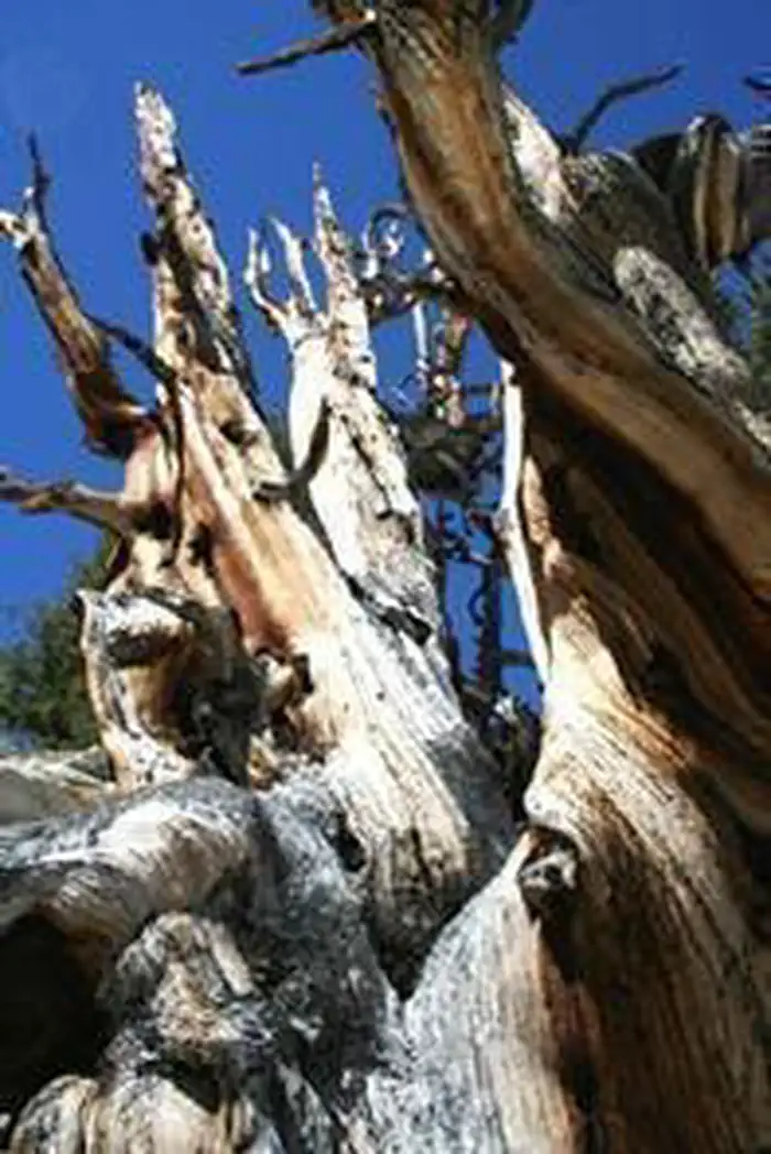

About White Mountains Wilderness
Jointly administered by the Bureau of Land Management and U.S. Forest Service, White Mountain Wilderness contains one of the largest and highest desert mountain ranges in North America with several peaks exceeding 13,000 feet. Cottonwood Creek Wild and Scenic River flows through this wilderness area.
Things to do
When to go
Low confidence for this location; local conditions may differ.
Weather data & source
Each figure averages the highlighted months. 2018–2023 averages, not a forecast. Wet days estimate days with at least 1 mm of rain or snow using a calibrated ERA5 threshold. Contains modified Copernicus Climate Change Service information. Weather data by Open-Meteo.com (AWS Open Data, CC BY 4.0). ERA5 via Open-Meteo AWS Open Data
Plan your visit
White Mountains Wilderness is managed by Bureau of Land Management. Check current conditions, permits, and reservations before you go.
See it on Recreation.gov →