
About Woolsey Peak Wilderness
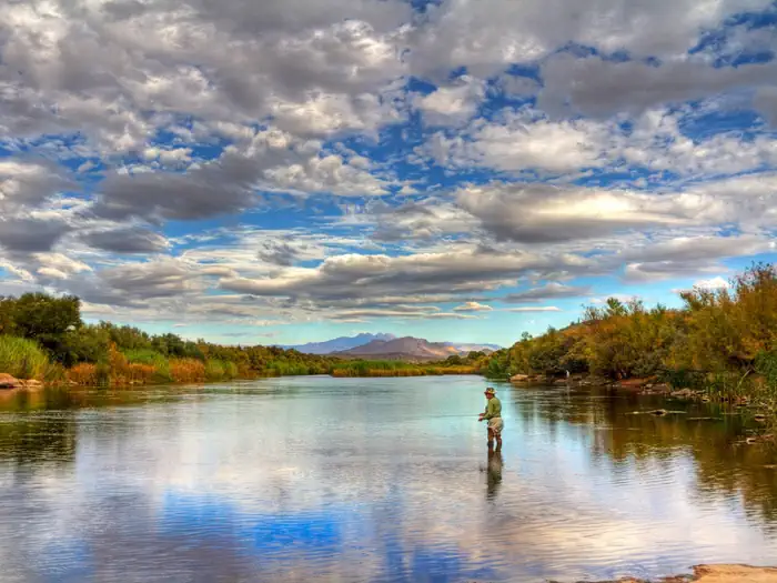
Congress added the Woolsey Peak portion of the Gila Bend Mountains to the National Wilderness Preservation System in 1990, citing the rugged topography, colorful scenic vistas, rich variety of wildlife and vegetation, and outstanding opportunities for solitude and unconfined recreation in both areas. This 64,000-acre wilderness area is a perfect example of pristine Sonoran Desert. Rising 2,500 feet to an elevation of 3,270 feet, Woolsey Peak is a prominent and scenic landmark of southwestern Arizona. Large washes, lined by thick stands of paloverde and ironwood, wind through sparsely vegetated, rock-strewn hills and desert plains below the major peaks. Wildlife includes mule deer, bighorn sheep, javelina, and numerous varieties of birds, lizards, and snakes. This wilderness area offers out
Things to do
When to go
Weather data & source
Each figure averages the highlighted months. 2018–2023 averages, not a forecast. Wet days estimate days with at least 1 mm of rain or snow using a calibrated ERA5 threshold. Contains modified Copernicus Climate Change Service information. Weather data by Open-Meteo.com (AWS Open Data, CC BY 4.0). ERA5 via Open-Meteo AWS Open Data
Plan your visit
Woolsey Peak Wilderness is managed by Bureau of Land Management. Check current conditions, permits, and reservations before you go.
See it on Recreation.gov →