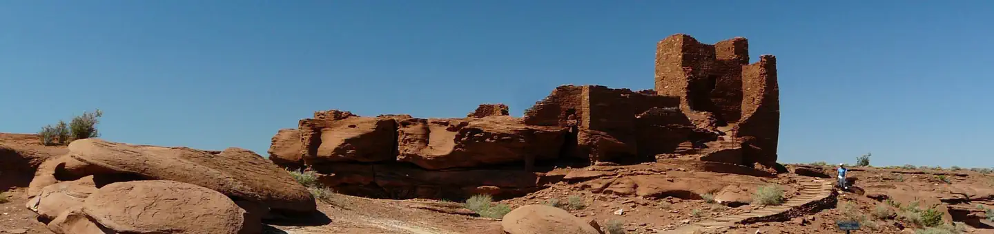

About Wupatki National Monument
Nestled between the Painted Desert and ponderosa highlands of northern Arizona, Wupatki National Monument is an unlikely landscape for a thriving community. The early 1100's marked a time of cooler and wetter weather, when the ancestors of contemporary Pueblo communities created a bustling center of trade and culture. For indigenous peoples, these sites represent the footprints of their ancestors.
Things to do
When to go
Weather data & source
Each figure averages the highlighted months. 2018–2023 averages, not a forecast. Wet days estimate days with at least 1 mm of rain or snow using a calibrated ERA5 threshold. Contains modified Copernicus Climate Change Service information. Weather data by Open-Meteo.com (AWS Open Data, CC BY 4.0). ERA5 via Open-Meteo AWS Open Data
Plan your visit
Wupatki National Monument is managed by National Park Service. Check current conditions, permits, and reservations before you go.
See it on Recreation.gov →