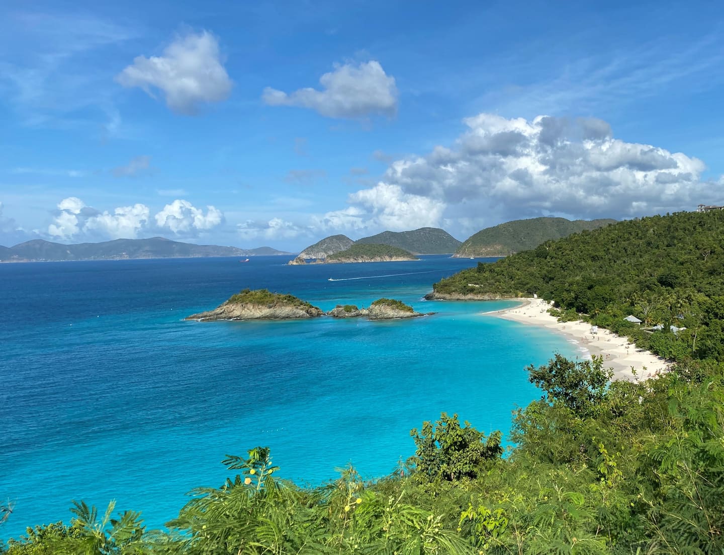

Photo information

Virgin Islands

Photo
NPS Photo
Licence
Public domain
Original
View source
Changes
Cropped
Trailwind
National Park · VI

Virgin Islands

Best seasonOct–May
EntranceFree
Fly intoSTT
When to go · season and historical weather

Sweet spotPeak Dec–Mar. Go in Apr, Nov for similar weather.

Jan
Feb
Mar
Apr
May
Jun
Jul
Aug
Sep
Oct
Nov
Dec
Bar height shows the season; shaded months are the window to go. Select a month for historical weather.
Weather data & source

2018–2023 averages, not a forecast. Wet days estimate days with at least 1 mm of rain or snow using a calibrated ERA5 threshold. Contains modified Copernicus Climate Change Service information. Weather data by Open-Meteo.com (AWS Open Data, CC BY 4.0). Sunny share of daylight does not describe nighttime visibility. Season bars and highlighted months are separate from these weather averages. ERA5 via Open-Meteo AWS Open Data

On the map
Map showing the location of Virgin Islands

When to go

Mostly Perfect! The Tradewinds (the Easterlies) dominate the weather in the Virgin Islands, blowing east to west across the tropical Atlantic. The winter tends to bring stronger winds and less rain, and the summer tends to bring more rain and lighter winds. Be sure to check the forecast often during hurricane season or winter swell events.

Know before you go

No entrance feeFly into STT
Check current conditions with NPS →