
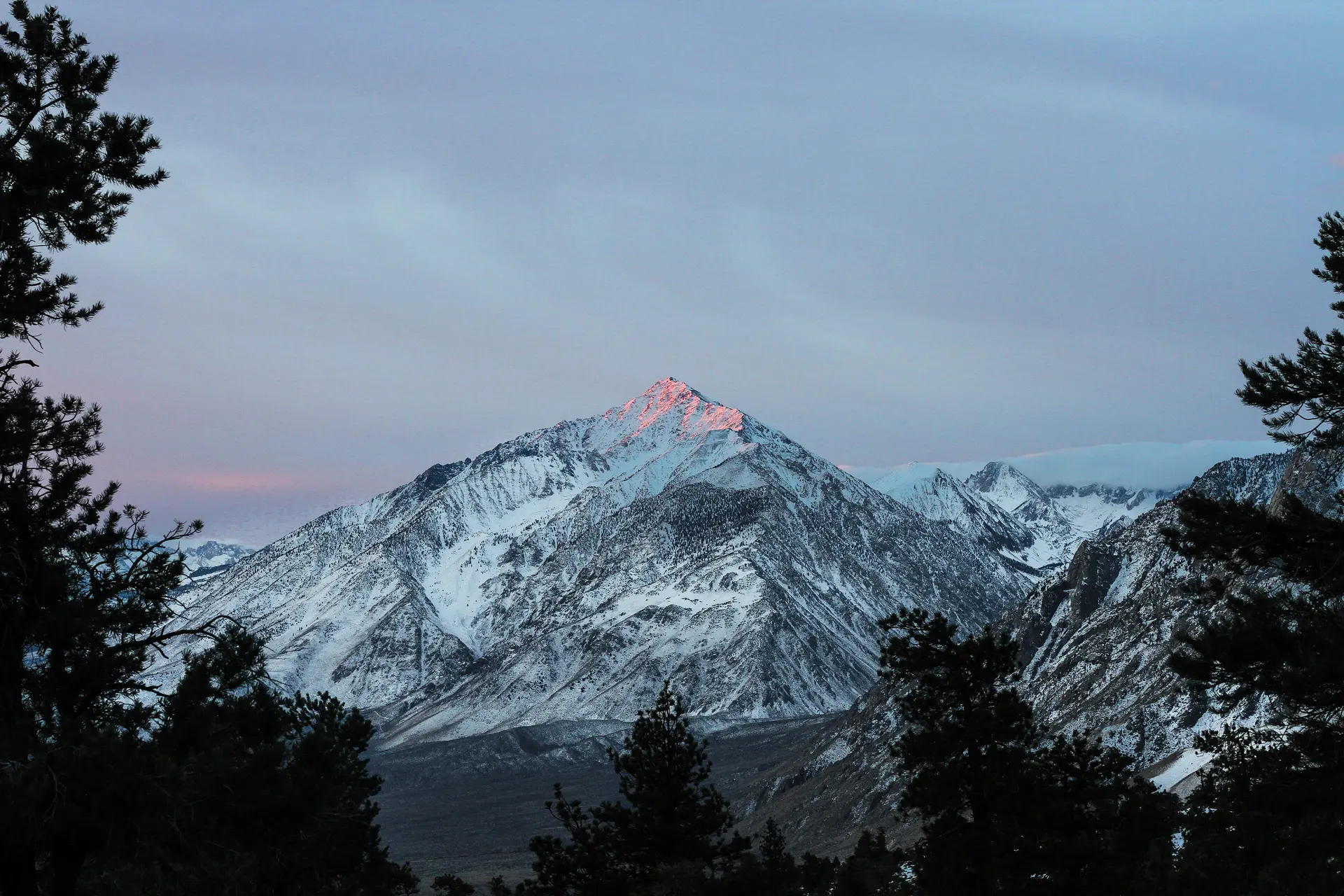
Photo information

Mount Whitney

Photo
Geographer
Licence
CC BY 1.0
Original
View source
Changes
Cropped
Trailwind
Legendary trek

Mount Whitney

Sierra Nevada, California, United States
Best timeJul–Sep
Signature routeMount Whitney Trail
In season~46°F high
Fares from$312
Nearest airportFAT
CurrencyUSD
LanguageEnglish
TimezoneUTC-05:00
The route
Topographic route map for Mount Whitney
StartFinish
Elevation profile14,377 ft
0 mi8,445 ft low10.28 mi
10miles
14,377ft high point
6,644ft of climbing
Best months to go
JFMAMJJASOND
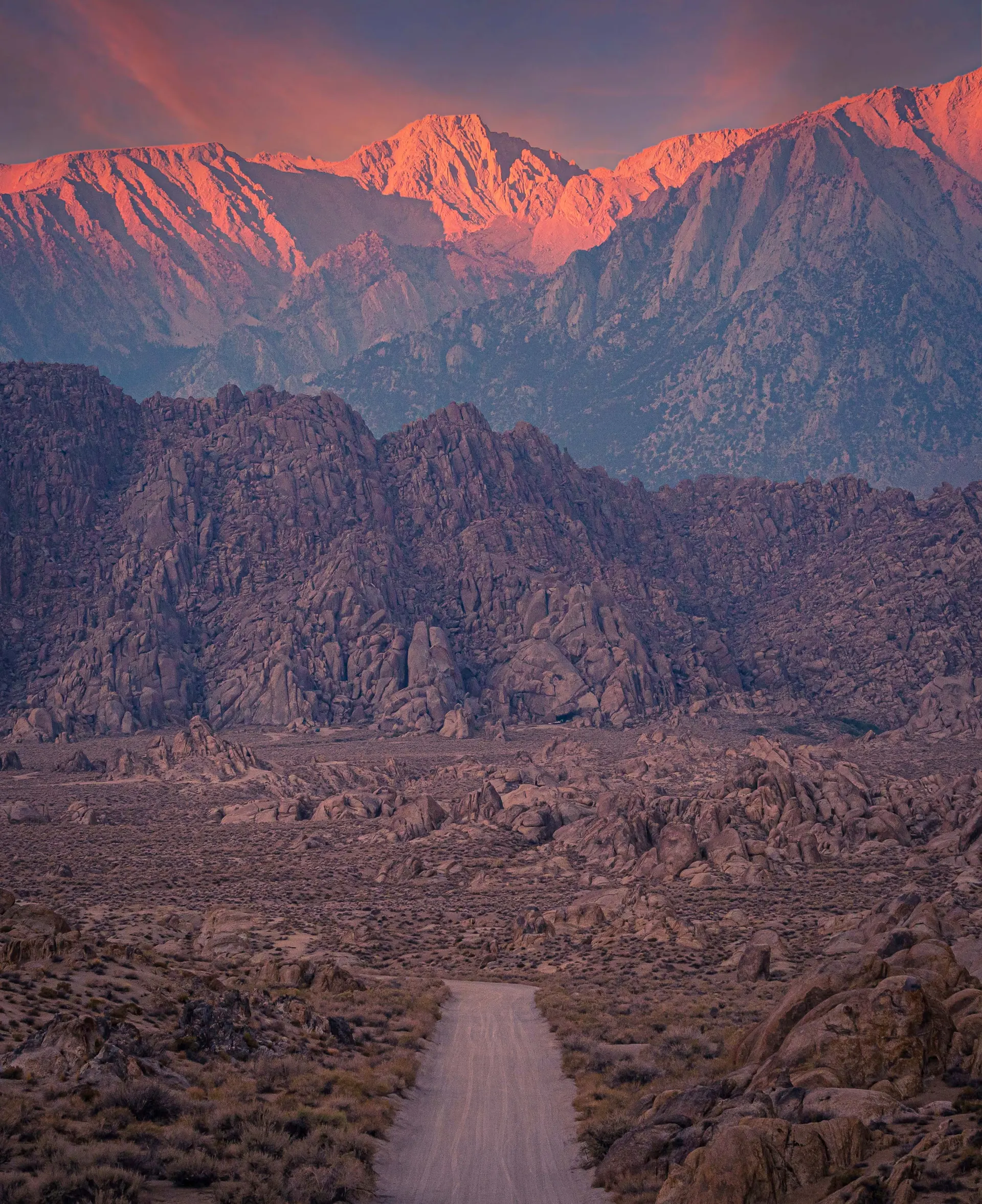
Mount Whitney: Mount Whitney, United States
Photo information

Mount Whitney

Photo
Jeremy Bishop tidesinourveins
Licence
CC0
Original
View source
Changes
Cropped

The highest summit in the lower 48, a permit-only 22-mile day.

Best time to visit

Aim for Jul–Sep, the 3 months that line up best.

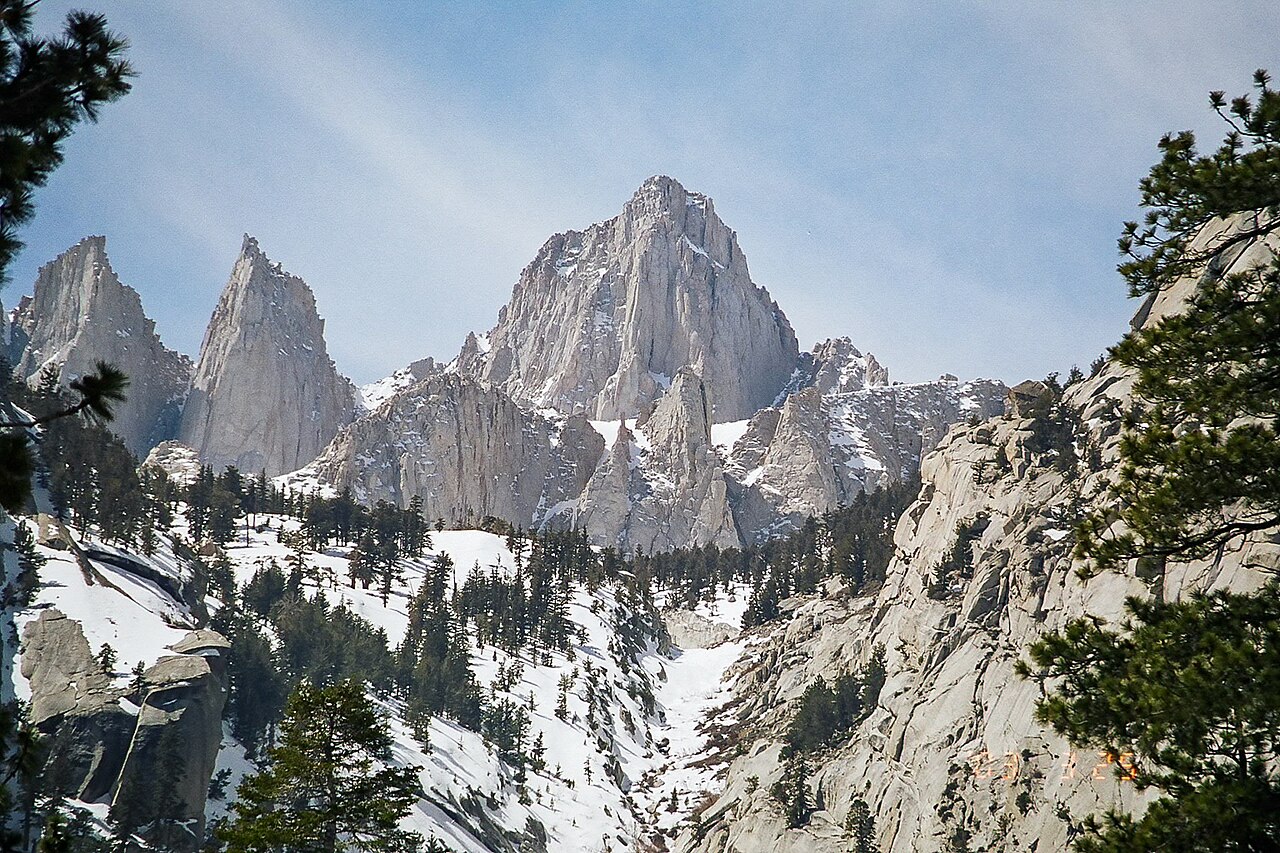
Mount Whitney: The road to recovery
Photo information

Mount Whitney

Photo
Aeastabrook33
Original
View source
Changes
Cropped
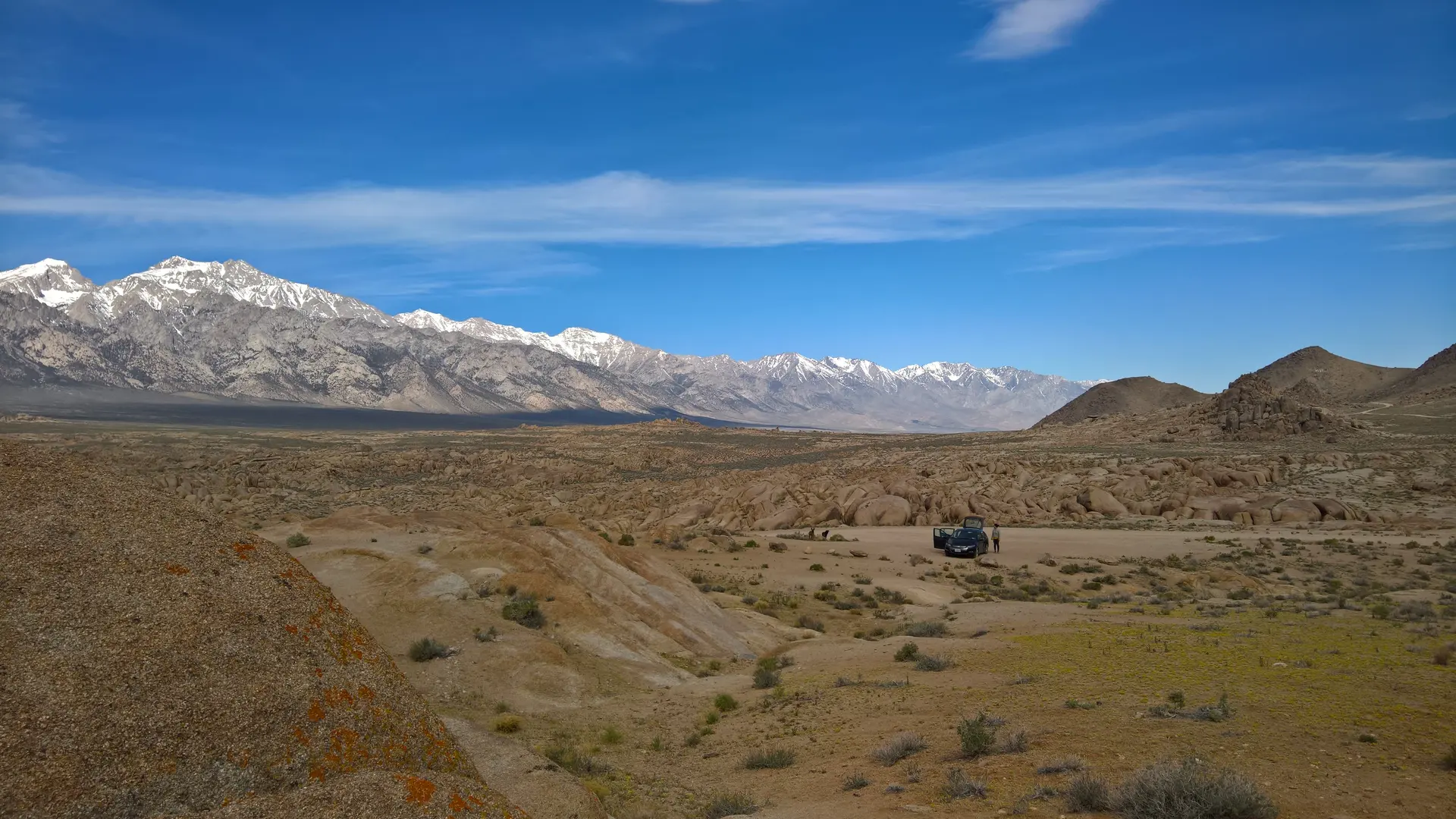
Mount Whitney: View of car and foothills under Mt
Photo information

Mount Whitney

Photo
Alanthebox
Licence
CC0
Original
View source
Changes
Cropped

The route

The classic way in is the Mount Whitney Trail. Nearest airport is FAT.

Pairs well with
Frequently asked questions

When is the best time to visit Mount Whitney?

The best time to visit Mount Whitney is July–September, in Sierra Nevada, California, United States.

Where is Mount Whitney?

Mount Whitney is in Sierra Nevada, California, United States. The nearest major airport is FAT.

What is Mount Whitney known for?

The highest summit in the lower 48, a permit-only 22-mile day.
Featured in

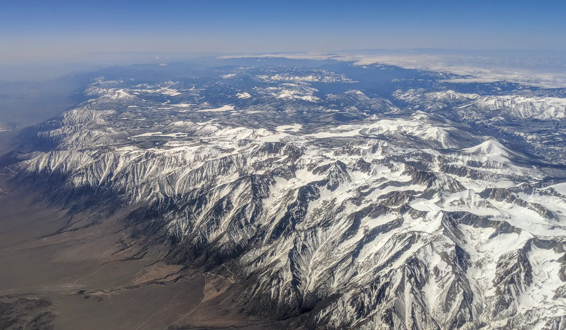
Mount Whitney: Aerial view from the north of Mount Whitney and the step face of the south-eastern Sierra Nevadas in winter, 2019
Photo information

Mount Whitney

Photo
Dicklyon
Licence
CC BY-SA 4.0
Original
View source
Changes
Cropped